Harberton Stream channel, Harbertonford
Introduction
The photograph on this page of Harberton Stream channel, Harbertonford by Robin Stott as part of the Geograph project.
The Geograph project started in 2005 with the aim of publishing, organising and preserving representative images for every square kilometre of Great Britain, Ireland and the Isle of Man.

There are currently over 7.5m images from over 14,400 individuals and you can help contribute to the project by visiting https://www.geograph.org.uk
Harberton Stream channel, Harbertonford
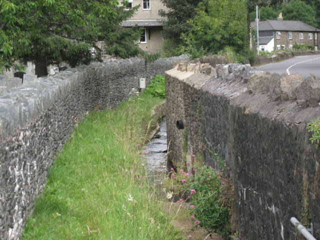
Image: © Robin Stott Taken: 29 Jul 2010
Brooks and springs north of the village feed the Harberton Stream. It is culverted under the busy A381 to join the Harbourne River by the village green Image This walled corridor between the churchyard and the road appears to be shared by the stream and a grass footpath. More context in Image Details of the 2003 Harbertonford Flood Defence Scheme are linked from Image
Images are licensed for reuse under creativecommons.org/licenses/by-sa/2.0
Image Location
Latitude
50.393332
Longitude
-3.712646