The Afon Teifi north-west of Tregaron, Ceredigion
Introduction
The photograph on this page of The Afon Teifi north-west of Tregaron, Ceredigion by Roger D Kidd as part of the Geograph project.
The Geograph project started in 2005 with the aim of publishing, organising and preserving representative images for every square kilometre of Great Britain, Ireland and the Isle of Man.

There are currently over 7.5m images from over 14,400 individuals and you can help contribute to the project by visiting https://www.geograph.org.uk
The Afon Teifi north-west of Tregaron, Ceredigion
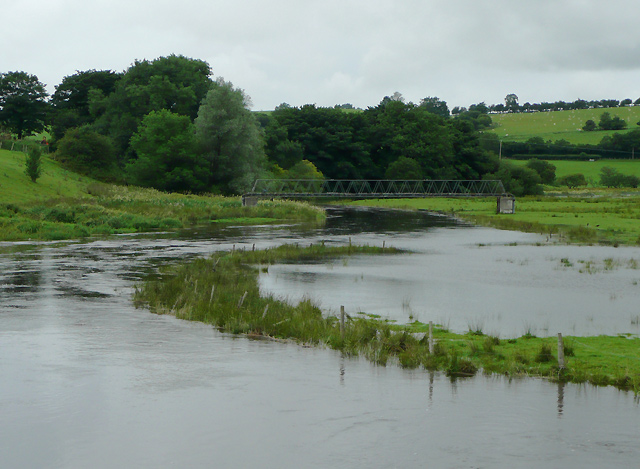
Image: © Roger D Kidd Taken: 21 Jul 2010
Seen from the new (1972) Pont Einon and flowing quite high after several days of wet weather. The footbridge does not carry a public right of way. This area is at the southern end of a wide part of the valley which contains Cors Caron (The Bog of Tregaron). Satellite images show no sign of tracks to or from it, so it appears almost unused.
Images are licensed for reuse under creativecommons.org/licenses/by-sa/2.0
Image Location
Latitude
52.233503
Longitude
-3.948469