Wheatfield near Allington
Introduction
The photograph on this page of Wheatfield near Allington by Derek Harper as part of the Geograph project.
The Geograph project started in 2005 with the aim of publishing, organising and preserving representative images for every square kilometre of Great Britain, Ireland and the Isle of Man.

There are currently over 7.5m images from over 14,400 individuals and you can help contribute to the project by visiting https://www.geograph.org.uk
Wheatfield near Allington
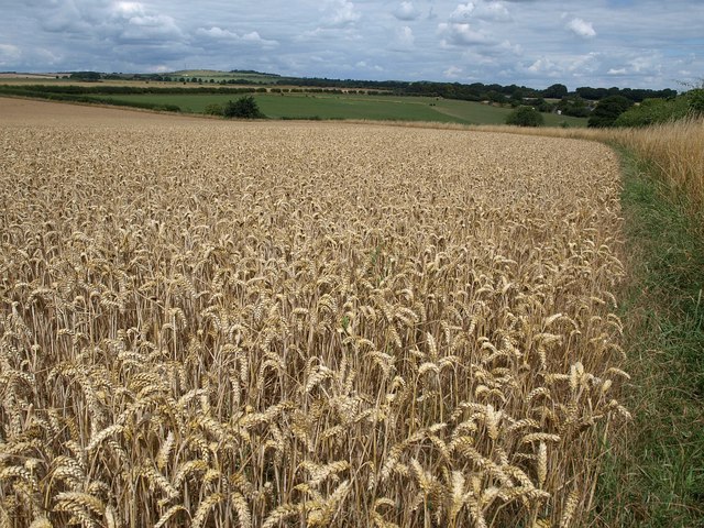
Image: © Derek Harper Taken: 2 Aug 2010
Another view of Image from further south. Beacon Hill is left of centre on the skyline.
Images are licensed for reuse under creativecommons.org/licenses/by-sa/2.0
Image Location
Latitude
51.154588
Longitude
-1.714555