Fortfield Road, Whitchurch
Introduction
The photograph on this page of Fortfield Road, Whitchurch by Neil Owen as part of the Geograph project.
The Geograph project started in 2005 with the aim of publishing, organising and preserving representative images for every square kilometre of Great Britain, Ireland and the Isle of Man.

There are currently over 7.5m images from over 14,400 individuals and you can help contribute to the project by visiting https://www.geograph.org.uk
Fortfield Road, Whitchurch
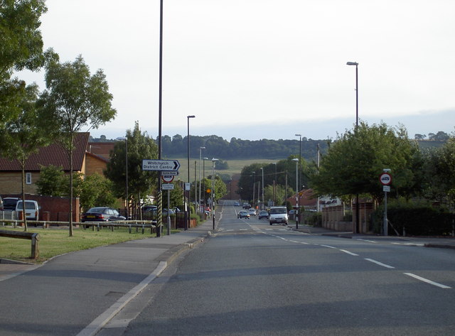
Image: © Neil Owen Taken: 8 Aug 2010
The straight line of the road is aligned almost directly with Maes Knoll - an Iron Age fort on the Dundry Ridge, 1.5km to the south.
Images are licensed for reuse under creativecommons.org/licenses/by-sa/2.0
Image Location
Latitude
51.414861
Longitude
-2.567651