Woolsbridge Industrial Park
Introduction
The photograph on this page of Woolsbridge Industrial Park by Mike Faherty as part of the Geograph project.
The Geograph project started in 2005 with the aim of publishing, organising and preserving representative images for every square kilometre of Great Britain, Ireland and the Isle of Man.

There are currently over 7.5m images from over 14,400 individuals and you can help contribute to the project by visiting https://www.geograph.org.uk
Woolsbridge Industrial Park
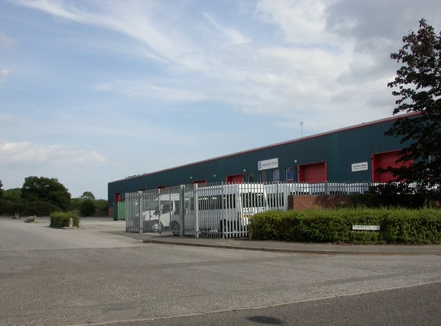
Image: © Mike Faherty Taken: 8 Aug 2010
The park comprises Old Barn Farm Road, and turnings off it, called "Way" or "Close". This is Liberty Close.
Images are licensed for reuse under creativecommons.org/licenses/by-sa/2.0
Image Location
Latitude
50.841748
Longitude
-1.865024