Canal path alongside former Tredegar Lock
Introduction
The photograph on this page of Canal path alongside former Tredegar Lock by Jaggery as part of the Geograph project.
The Geograph project started in 2005 with the aim of publishing, organising and preserving representative images for every square kilometre of Great Britain, Ireland and the Isle of Man.

There are currently over 7.5m images from over 14,400 individuals and you can help contribute to the project by visiting https://www.geograph.org.uk
Canal path alongside former Tredegar Lock
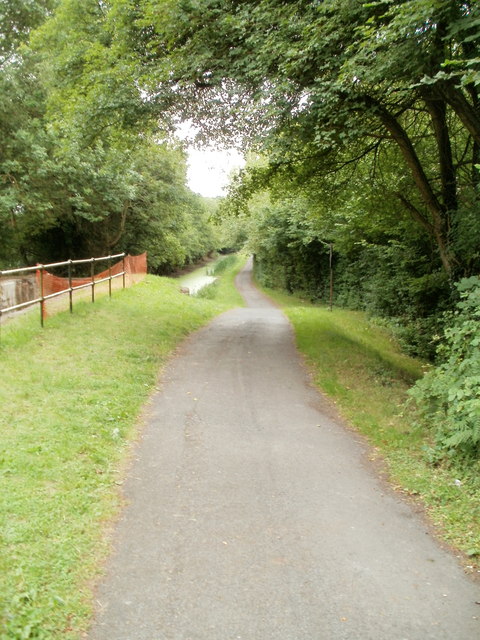
Image: © Jaggery Taken: 30 Jul 2010
The path along the disused Monmouthshire and Brecon canal descends a couple metres as it passes the site of the former Tredegar Lock, lined with railings.
Images are licensed for reuse under creativecommons.org/licenses/by-sa/2.0
Image Location
Latitude
51.626855
Longitude
-3.022762