Ridge Cross
Introduction
The photograph on this page of Ridge Cross by Shaun Ferguson as part of the Geograph project.
The Geograph project started in 2005 with the aim of publishing, organising and preserving representative images for every square kilometre of Great Britain, Ireland and the Isle of Man.

There are currently over 7.5m images from over 14,400 individuals and you can help contribute to the project by visiting https://www.geograph.org.uk
Ridge Cross
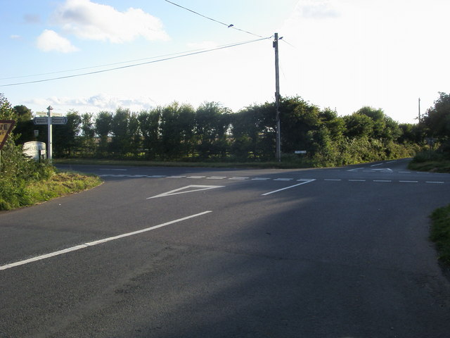
Image: © Shaun Ferguson Taken: 7 Aug 2010
Fordbrook Lane at Ridge Cross, with Wembury Road cutting across and Leyford Lane straight ahead.
Images are licensed for reuse under creativecommons.org/licenses/by-sa/2.0
Image Location
Latitude
50.344329
Longitude
-4.076032