Poundbury, housing
Introduction
The photograph on this page of Poundbury, housing by Mike Faherty as part of the Geograph project.
The Geograph project started in 2005 with the aim of publishing, organising and preserving representative images for every square kilometre of Great Britain, Ireland and the Isle of Man.

There are currently over 7.5m images from over 14,400 individuals and you can help contribute to the project by visiting https://www.geograph.org.uk
Poundbury, housing
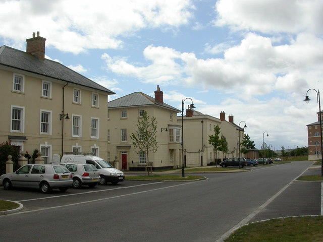
Image: © Mike Faherty Taken: 7 Aug 2010
On Peverell Avenue West, overlooking building development and A35. Note the absence of people (this is Saturday afternoon) and the presence of cars.
Images are licensed for reuse under creativecommons.org/licenses/by-sa/2.0
Image Location
Latitude
50.713182
Longitude
-2.470181