Lynmouth harbour
Introduction
The photograph on this page of Lynmouth harbour by Graham Horn as part of the Geograph project.
The Geograph project started in 2005 with the aim of publishing, organising and preserving representative images for every square kilometre of Great Britain, Ireland and the Isle of Man.

There are currently over 7.5m images from over 14,400 individuals and you can help contribute to the project by visiting https://www.geograph.org.uk
Lynmouth harbour
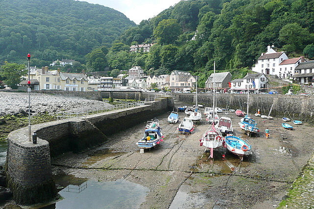
Image: © Graham Horn Taken: 23 Jul 2010
Looking from the end of the quay towards the town. Since the 1952 floods a wider channel for the East and West Lyn rivers runs to the left of the harbour wall.
Images are licensed for reuse under creativecommons.org/licenses/by-sa/2.0
Image Location
Latitude
51.230358
Longitude
-3.830343