South end of quarry face, Quarry Moor, Ripon
Introduction
The photograph on this page of South end of quarry face, Quarry Moor, Ripon by Rich Tea as part of the Geograph project.
The Geograph project started in 2005 with the aim of publishing, organising and preserving representative images for every square kilometre of Great Britain, Ireland and the Isle of Man.

There are currently over 7.5m images from over 14,400 individuals and you can help contribute to the project by visiting https://www.geograph.org.uk
South end of quarry face, Quarry Moor, Ripon
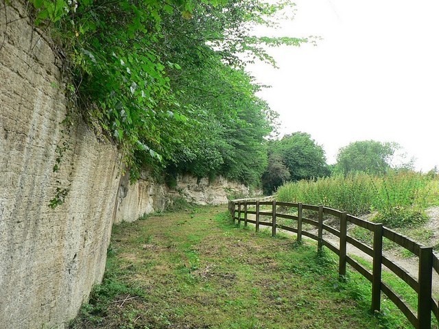
Image: © Rich Tea Taken: 8 Jul 2006
This end is much smoother than the middle and north end. The sign nearby says that this was due to mechanical quarrying. Above the limestone are glacial drifts deposited towards the end of the last Ice Age.
Images are licensed for reuse under creativecommons.org/licenses/by-sa/2.0
Image Location
Latitude
54.117753
Longitude
-1.530609