Cholderton village hall
Introduction
The photograph on this page of Cholderton village hall by Derek Harper as part of the Geograph project.
The Geograph project started in 2005 with the aim of publishing, organising and preserving representative images for every square kilometre of Great Britain, Ireland and the Isle of Man.

There are currently over 7.5m images from over 14,400 individuals and you can help contribute to the project by visiting https://www.geograph.org.uk
Cholderton village hall
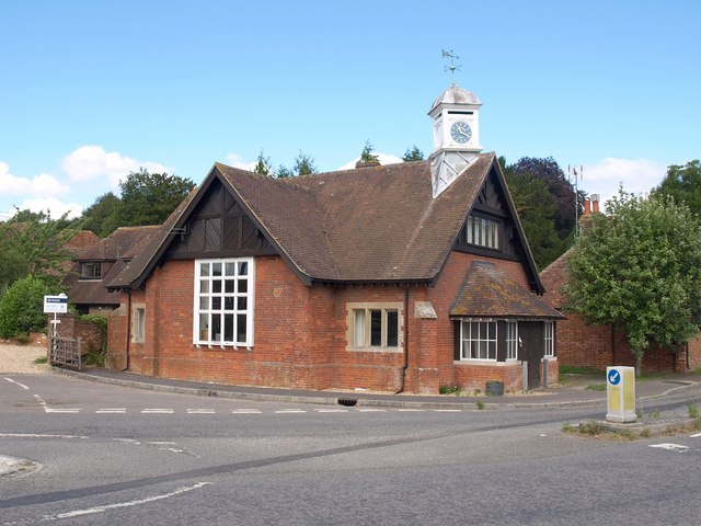
Image: © Derek Harper Taken: 2 Aug 2010
A view of Image from a slightly different angle. With its clock tower, the building forms a distinctive landmark on the A338 as it passes through the village.
Images are licensed for reuse under creativecommons.org/licenses/by-sa/2.0
Image Location
Latitude
51.179313
Longitude
-1.67878