Course of the Bourne, Cholderton
Introduction
The photograph on this page of Course of the Bourne, Cholderton by Derek Harper as part of the Geograph project.
The Geograph project started in 2005 with the aim of publishing, organising and preserving representative images for every square kilometre of Great Britain, Ireland and the Isle of Man.

There are currently over 7.5m images from over 14,400 individuals and you can help contribute to the project by visiting https://www.geograph.org.uk
Course of the Bourne, Cholderton
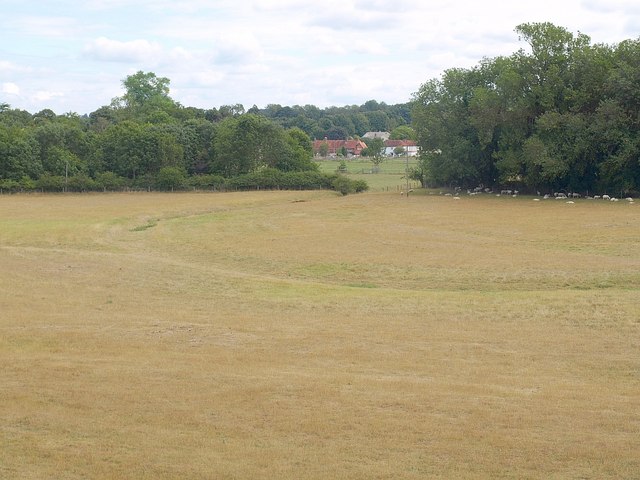
Image: © Derek Harper Taken: 2 Aug 2010
The river flows only in winter here, though there is a history of flooding. Water emerges in summer at Boscombe, four kilometres (as the crow flies) downstream. This is the same field as the one shown in Image, and the line of a watercourse parallel to the river, and close to the camera, suggests an irrigation system. Part of the village of Cholderton, in Image, can be seen through the gap in trees.
Images are licensed for reuse under creativecommons.org/licenses/by-sa/2.0
Image Location
Latitude
51.17609
Longitude
-1.684096