Rapeseed field, Newton Tony
Introduction
The photograph on this page of Rapeseed field, Newton Tony by Derek Harper as part of the Geograph project.
The Geograph project started in 2005 with the aim of publishing, organising and preserving representative images for every square kilometre of Great Britain, Ireland and the Isle of Man.

There are currently over 7.5m images from over 14,400 individuals and you can help contribute to the project by visiting https://www.geograph.org.uk
Rapeseed field, Newton Tony
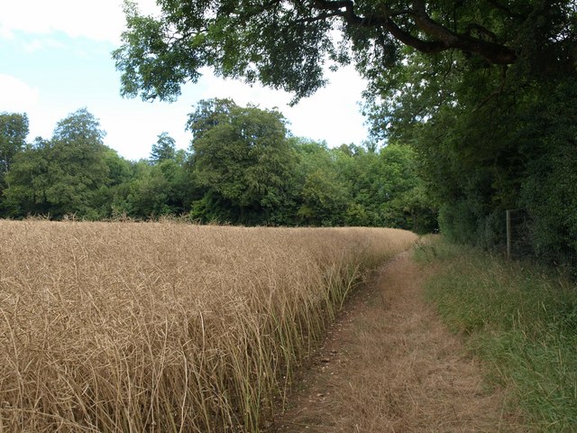
Image: © Derek Harper Taken: 2 Aug 2010
The footpath to Cholderton approaches the northeast corner of this field which is enclosed by four blocks of woodland. On the right is Tree Ground. The (unnamed) woodland ahead conceals the driveway to Wilbury House.
Images are licensed for reuse under creativecommons.org/licenses/by-sa/2.0
Image Location
Latitude
51.173222
Longitude
-1.687691