Hill of Chattie
Introduction
The photograph on this page of Hill of Chattie by Anne Burgess as part of the Geograph project.
The Geograph project started in 2005 with the aim of publishing, organising and preserving representative images for every square kilometre of Great Britain, Ireland and the Isle of Man.

There are currently over 7.5m images from over 14,400 individuals and you can help contribute to the project by visiting https://www.geograph.org.uk
Hill of Chattie
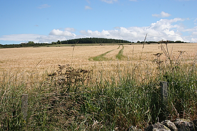
Image: © Anne Burgess Taken: 5 Aug 2010
Hill of Chattie is hardly an impressive eminence, reaching only about 111 metres above sea level. However the plantation on its summit makes it reasonably easy to identify.
Images are licensed for reuse under creativecommons.org/licenses/by-sa/2.0
Image Location
Latitude
57.647282
Longitude
-2.692224