Crop Field near Oxney Bottom Wood
Introduction
The photograph on this page of Crop Field near Oxney Bottom Wood by Oast House Archive as part of the Geograph project.
The Geograph project started in 2005 with the aim of publishing, organising and preserving representative images for every square kilometre of Great Britain, Ireland and the Isle of Man.

There are currently over 7.5m images from over 14,400 individuals and you can help contribute to the project by visiting https://www.geograph.org.uk
Crop Field near Oxney Bottom Wood
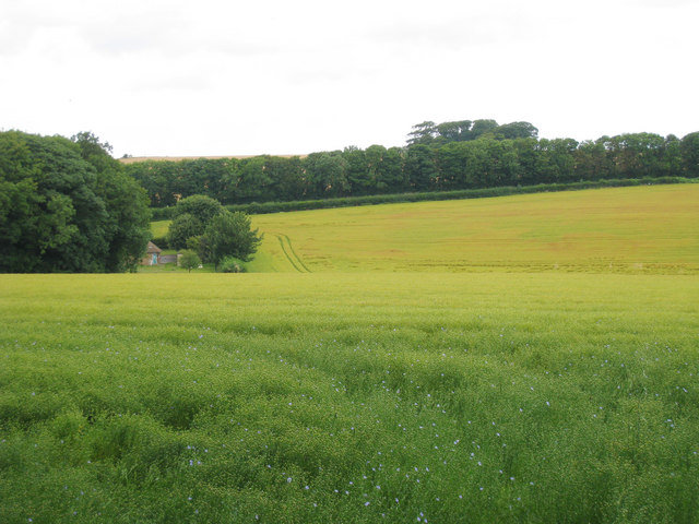
Image: © Oast House Archive Taken: 5 Aug 2010
The A258 Dover Road behind hedge in distance, and edge of pumping station just seen to left.
Images are licensed for reuse under creativecommons.org/licenses/by-sa/2.0
Image Location
Latitude
51.175
Longitude
1.369924