Culverted stream under landfill
Introduction
The photograph on this page of Culverted stream under landfill by Robin Webster as part of the Geograph project.
The Geograph project started in 2005 with the aim of publishing, organising and preserving representative images for every square kilometre of Great Britain, Ireland and the Isle of Man.

There are currently over 7.5m images from over 14,400 individuals and you can help contribute to the project by visiting https://www.geograph.org.uk
Culverted stream under landfill
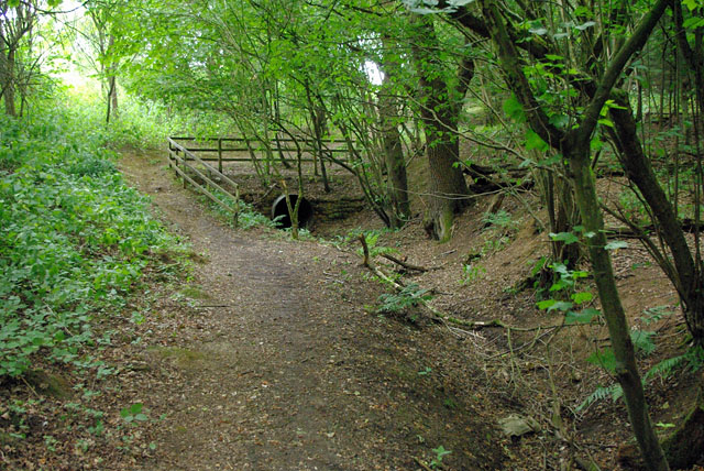
Image: © Robin Webster Taken: 5 Aug 2010
The public footpath to Nutfield drops down from an area of landfill to follow this stream, currently dry. The stream is dropping down in the opposite direction, and enters a culvert under the landfill. Its subsequent course is not obvious.
Images are licensed for reuse under creativecommons.org/licenses/by-sa/2.0
Image Location
Latitude
51.242067
Longitude
-0.13614