Saxon Shore Way reaches Knock Hill road junction
Introduction
The photograph on this page of Saxon Shore Way reaches Knock Hill road junction by David Anstiss as part of the Geograph project.
The Geograph project started in 2005 with the aim of publishing, organising and preserving representative images for every square kilometre of Great Britain, Ireland and the Isle of Man.

There are currently over 7.5m images from over 14,400 individuals and you can help contribute to the project by visiting https://www.geograph.org.uk
Saxon Shore Way reaches Knock Hill road junction
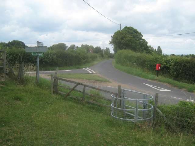
Image: © David Anstiss Taken: 1 Aug 2010
The long distance path heads from Stone Cliff and Cliff Farm, to pass through the kissing gate and head down Church Hill (lane in the middle) towards Stone in Oxney. Knock Hill (lane) heads right down to Military Road. Top Road heads left towards Wittersham.
Images are licensed for reuse under creativecommons.org/licenses/by-sa/2.0
Image Location


Leaflet Map data © OpenStreetMap
Latitude
51.008194
Longitude
0.761418