Lane to All Saints, Orton
Introduction
The photograph on this page of Lane to All Saints, Orton by Colin Smith as part of the Geograph project.
The Geograph project started in 2005 with the aim of publishing, organising and preserving representative images for every square kilometre of Great Britain, Ireland and the Isle of Man.

There are currently over 7.5m images from over 14,400 individuals and you can help contribute to the project by visiting https://www.geograph.org.uk
Lane to All Saints, Orton
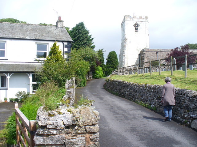
Image: © Colin Smith Taken: 7 Jul 2010
The 16th century tower has recently been treated with lime, hence its white colour. http://www.orton.org.uk/
Images are licensed for reuse under creativecommons.org/licenses/by-sa/2.0
Image Location
Latitude
54.468833
Longitude
-2.584269