Track near Garmore
Introduction
The photograph on this page of Track near Garmore by Robert Murray as part of the Geograph project.
The Geograph project started in 2005 with the aim of publishing, organising and preserving representative images for every square kilometre of Great Britain, Ireland and the Isle of Man.

There are currently over 7.5m images from over 14,400 individuals and you can help contribute to the project by visiting https://www.geograph.org.uk
Track near Garmore
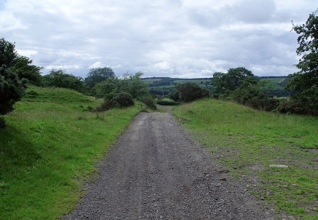
Image: © Robert Murray Taken: 1 Aug 2010
Looking in the direction of Glorat House. The land on each side of this track was once the 'Glorat Coal and Lime Works'. See RCAHMS report www.canmore.rcahms.gov.uk/en/site/197352/details/glorat+coal+and+lime+works/
Images are licensed for reuse under creativecommons.org/licenses/by-sa/2.0
Image Location


Leaflet Map data © OpenStreetMap
Latitude
55.977408
Longitude
-4.178807