Disused buildings at former WWII St Leonards Hospital
Introduction
The photograph on this page of Disused buildings at former WWII St Leonards Hospital by Peter Facey as part of the Geograph project.
The Geograph project started in 2005 with the aim of publishing, organising and preserving representative images for every square kilometre of Great Britain, Ireland and the Isle of Man.

There are currently over 7.5m images from over 14,400 individuals and you can help contribute to the project by visiting https://www.geograph.org.uk
Disused buildings at former WWII St Leonards Hospital
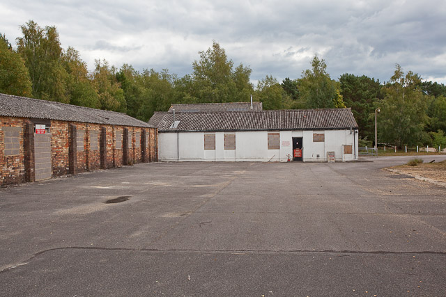
Image: © Peter Facey Taken: 2 Aug 2010
To judge from Google aerial view, this yard was until recently used as an ambulance park, but it has now been blocked off.
Images are licensed for reuse under creativecommons.org/licenses/by-sa/2.0
Image Location
Latitude
50.818264
Longitude
-1.854304