Double bend sign near Hillsborough
Introduction
The photograph on this page of Double bend sign near Hillsborough by Albert Bridge as part of the Geograph project.
The Geograph project started in 2005 with the aim of publishing, organising and preserving representative images for every square kilometre of Great Britain, Ireland and the Isle of Man.

There are currently over 7.5m images from over 14,400 individuals and you can help contribute to the project by visiting https://www.geograph.org.uk
Double bend sign near Hillsborough
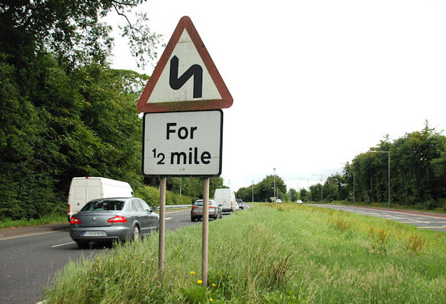
Image: © Albert Bridge Taken: 3 Aug 2010
Double bend (first to left) sign, on the northbound carriageway, on the Sprucefield/Belfast side of the roundabout. The northbound carriageway is the original two-lane road before dualling Image
Images are licensed for reuse under creativecommons.org/licenses/by-sa/2.0
Image Location
Latitude
54.475608
Longitude
-6.073385