Windblown pines
Introduction
The photograph on this page of Windblown pines by Gordon Hatton as part of the Geograph project.
The Geograph project started in 2005 with the aim of publishing, organising and preserving representative images for every square kilometre of Great Britain, Ireland and the Isle of Man.

There are currently over 7.5m images from over 14,400 individuals and you can help contribute to the project by visiting https://www.geograph.org.uk
Windblown pines
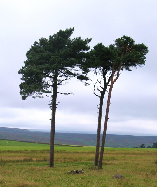
Image: © Gordon Hatton Taken: 3 Aug 2010
Windblown pines on the edge of the moor near Mouscar. The sighting tower at Arnagill can be seen in the distance between the trees.
Images are licensed for reuse under creativecommons.org/licenses/by-sa/2.0
Image Location


Leaflet Map data © OpenStreetMap
Latitude
54.190297
Longitude
-1.705262