Whitlees Bastle
Introduction
The photograph on this page of Whitlees Bastle by Christine Johnstone as part of the Geograph project.
The Geograph project started in 2005 with the aim of publishing, organising and preserving representative images for every square kilometre of Great Britain, Ireland and the Isle of Man.

There are currently over 7.5m images from over 14,400 individuals and you can help contribute to the project by visiting https://www.geograph.org.uk
Whitlees Bastle
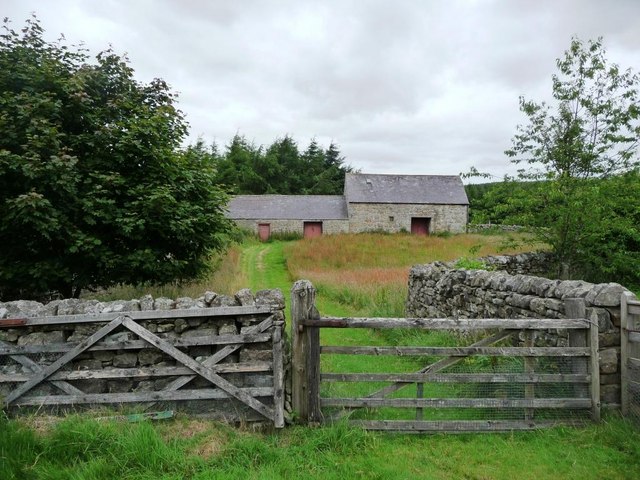
Image: © Christine Johnstone Taken: 26 Jul 2010
The Sites and Monuments records says 'One of the buildings on Whitlees farm seems to be a late 1500s or early 1600s strong house. It has many characteristics of a bastle, such as walls built of massive stones and a boulder plinth, as well as walls over 1.3m thick.'
Images are licensed for reuse under creativecommons.org/licenses/by-sa/2.0
Image Location
Latitude
55.228051
Longitude
-2.064744