Decaying Barn at Rhyd-Ddu
Introduction
The photograph on this page of Decaying Barn at Rhyd-Ddu by Trevor Littlewood as part of the Geograph project.
The Geograph project started in 2005 with the aim of publishing, organising and preserving representative images for every square kilometre of Great Britain, Ireland and the Isle of Man.

There are currently over 7.5m images from over 14,400 individuals and you can help contribute to the project by visiting https://www.geograph.org.uk
Decaying Barn at Rhyd-Ddu
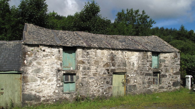
Image: © Trevor Littlewood Taken: 11 Jul 2010
The small village of Rhyd-Ddu lies at the start of one of the main routes to Snowdon. This barn would be a prime candidate for conversion!
Images are licensed for reuse under creativecommons.org/licenses/by-sa/2.0
Image Location


Leaflet Map data © OpenStreetMap
Latitude
53.053425
Longitude
-4.136469