Upper Brailes and view
Introduction
The photograph on this page of Upper Brailes and view by Michael Dibb as part of the Geograph project.
The Geograph project started in 2005 with the aim of publishing, organising and preserving representative images for every square kilometre of Great Britain, Ireland and the Isle of Man.

There are currently over 7.5m images from over 14,400 individuals and you can help contribute to the project by visiting https://www.geograph.org.uk
Upper Brailes and view
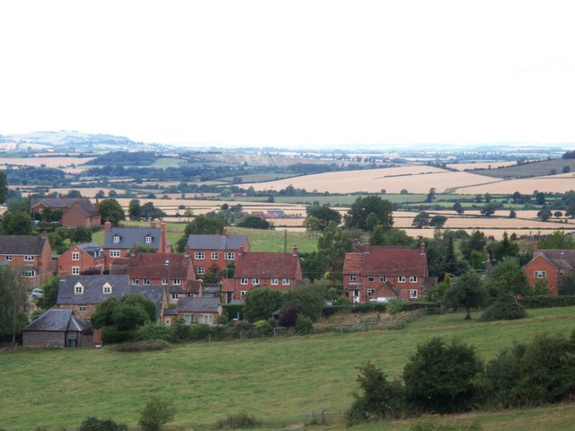
Image: © Michael Dibb Taken: 26 Jul 2010
The view from the top of Castle Hill, a prehistoric burial ground that was used as the mound for a motte-and-bailey castle. The houses are in Castle Hill Road whilst the view extends as far as Ilmington Hill Image on the skyline.
Images are licensed for reuse under creativecommons.org/licenses/by-sa/2.0
Image Location


Leaflet Map data © OpenStreetMap
Latitude
52.059977
Longitude
-1.556988