The Close, Oakfield, Cwmbran
Introduction
The photograph on this page of The Close, Oakfield, Cwmbran by Jaggery as part of the Geograph project.
The Geograph project started in 2005 with the aim of publishing, organising and preserving representative images for every square kilometre of Great Britain, Ireland and the Isle of Man.

There are currently over 7.5m images from over 14,400 individuals and you can help contribute to the project by visiting https://www.geograph.org.uk
The Close, Oakfield, Cwmbran
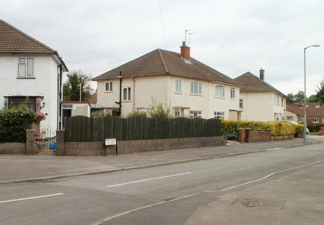
Image: © Jaggery Taken: 30 Jul 2010
Houses on the west side of The Close, viewed from the corner of Fields Road. The Close is not a close, as it is connected to Fields Road and The Highway. It may be that the local street naming department had an uninspired day when naming The Close and The Highway. Another possibility is that these were the original streets in Oakfield when all else around was undeveloped. That was the case in New Inn, where the first streets named were The Highway http://www.geograph.org.uk/photo/1666569 and The Avenue. http://www.geograph.org.uk/photo/1666551
Images are licensed for reuse under creativecommons.org/licenses/by-sa/2.0
Image Location
Latitude
51.638567
Longitude
-3.020136