Through the farmyard to the brickworks
Introduction
The photograph on this page of Through the farmyard to the brickworks by Robin Webster as part of the Geograph project.
The Geograph project started in 2005 with the aim of publishing, organising and preserving representative images for every square kilometre of Great Britain, Ireland and the Isle of Man.

There are currently over 7.5m images from over 14,400 individuals and you can help contribute to the project by visiting https://www.geograph.org.uk
Through the farmyard to the brickworks
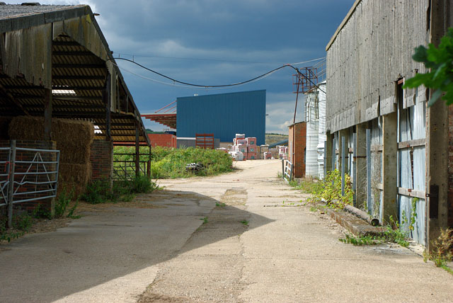
Image: © Robin Webster Taken: 1 Aug 2010
The farmyard is directly connected to the brickworks area, so is presumably part of the same concern. Possibly what farming activity is retained (and there seems little) is to do with the management of the property reserved for future clay digging.
Images are licensed for reuse under creativecommons.org/licenses/by-sa/2.0
Image Location
Latitude
51.121959
Longitude
-0.406337