Monks Lane and Honey Lane
Introduction
The photograph on this page of Monks Lane and Honey Lane by Robin Webster as part of the Geograph project.
The Geograph project started in 2005 with the aim of publishing, organising and preserving representative images for every square kilometre of Great Britain, Ireland and the Isle of Man.

There are currently over 7.5m images from over 14,400 individuals and you can help contribute to the project by visiting https://www.geograph.org.uk
Monks Lane and Honey Lane
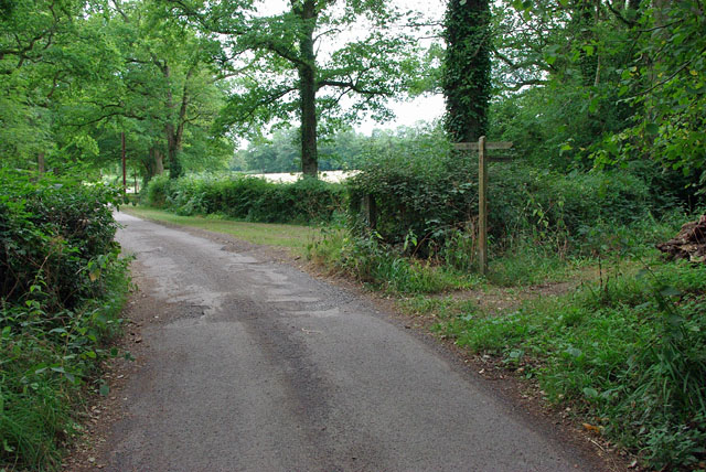
Image: © Robin Webster Taken: 1 Aug 2010
Both are public bridleways from this point, but Monks Lane to the left is also the road to Monks Farm, private from the vague gateway onwards.
Images are licensed for reuse under creativecommons.org/licenses/by-sa/2.0
Image Location
Latitude
51.114549
Longitude
-0.39059