Upper Arkengarthdale
Introduction
The photograph on this page of Upper Arkengarthdale by Gordon Hatton as part of the Geograph project.
The Geograph project started in 2005 with the aim of publishing, organising and preserving representative images for every square kilometre of Great Britain, Ireland and the Isle of Man.

There are currently over 7.5m images from over 14,400 individuals and you can help contribute to the project by visiting https://www.geograph.org.uk
Upper Arkengarthdale
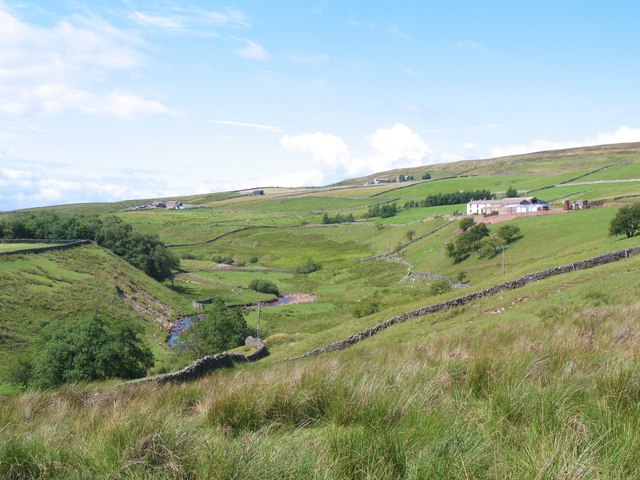
Image: © Gordon Hatton Taken: 29 Jul 2010
Arkle Beck is to the left, with Hill Top Farm to the right. The rushes in the foreground indicate the wet and rather infertile nature of the land here.
Images are licensed for reuse under creativecommons.org/licenses/by-sa/2.0
Image Location
Latitude
54.447414
Longitude
-2.038211