Railway Bridges, Bickley
Introduction
The photograph on this page of Railway Bridges, Bickley by Stephen Richards as part of the Geograph project.
The Geograph project started in 2005 with the aim of publishing, organising and preserving representative images for every square kilometre of Great Britain, Ireland and the Isle of Man.

There are currently over 7.5m images from over 14,400 individuals and you can help contribute to the project by visiting https://www.geograph.org.uk
Railway Bridges, Bickley
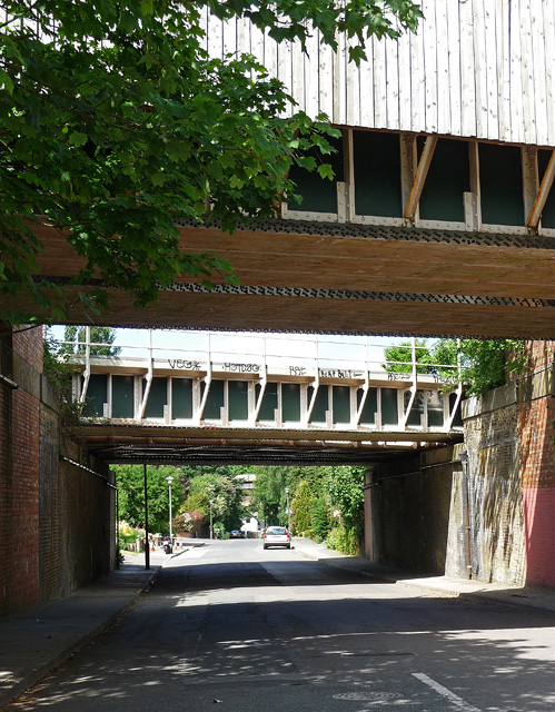
Image: © Stephen Richards Taken: Unknown
Over Barfield Road. Railways feature prominently in this square, with Chislehurst Junction extending over a large part of it. As far as I can make out, the first bridge carries the line between Bickley and Petts Wood stations, and the second Bickley and St Mary Cray stations. In the distance you may be able to make out a further bridge, actually in the square to the north, which runs between Chislehurst and Petts Wood. A further bridge - not visible - runs between Chislehurst and St Mary Cray.
Images are licensed for reuse under creativecommons.org/licenses/by-sa/2.0
Image Location
Latitude
51.400672
Longitude
0.058924