Pylons behind nursery units, East Bank Road, Newport
Introduction
The photograph on this page of Pylons behind nursery units, East Bank Road, Newport by Jaggery as part of the Geograph project.
The Geograph project started in 2005 with the aim of publishing, organising and preserving representative images for every square kilometre of Great Britain, Ireland and the Isle of Man.

There are currently over 7.5m images from over 14,400 individuals and you can help contribute to the project by visiting https://www.geograph.org.uk
Pylons behind nursery units, East Bank Road, Newport
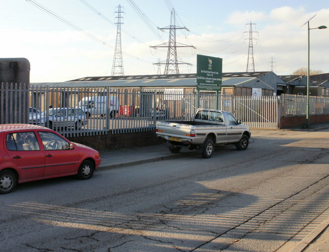
Image: © Jaggery Taken: 18 Dec 2009
Pylons dominate the background of this view taken on East Bank Road. In the foreground, the dark green sign states Newport City Council East Bank Road Nursery Units Units 1-18. In this context, a nursery unit is a property purpose-built as a starter unit for commercial or industrial usage.
Images are licensed for reuse under creativecommons.org/licenses/by-sa/2.0
Image Location
Latitude
51.567004
Longitude
-2.976692