Burton Green Farm, Hob Lane
Introduction
The photograph on this page of Burton Green Farm, Hob Lane by John Brightley as part of the Geograph project.
The Geograph project started in 2005 with the aim of publishing, organising and preserving representative images for every square kilometre of Great Britain, Ireland and the Isle of Man.

There are currently over 7.5m images from over 14,400 individuals and you can help contribute to the project by visiting https://www.geograph.org.uk
Burton Green Farm, Hob Lane
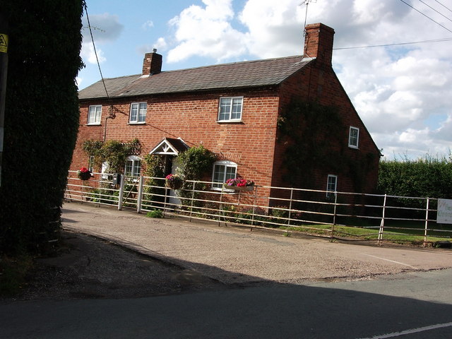
Image: © John Brightley Taken: 17 Jul 2010
The county boundary between Solihull and Warwickshire in this area is generally the centre of Hob Lane, but it has one curious kink at this point to include this farmhouse within Warwickshire, though much of the farmyard and buildings are in Solihull borough.
Images are licensed for reuse under creativecommons.org/licenses/by-sa/2.0
Image Location
Latitude
52.376261
Longitude
-1.608331