Barn near Crossmoor Farm
Introduction
The photograph on this page of Barn near Crossmoor Farm by Derek Harper as part of the Geograph project.
The Geograph project started in 2005 with the aim of publishing, organising and preserving representative images for every square kilometre of Great Britain, Ireland and the Isle of Man.

There are currently over 7.5m images from over 14,400 individuals and you can help contribute to the project by visiting https://www.geograph.org.uk
Barn near Crossmoor Farm
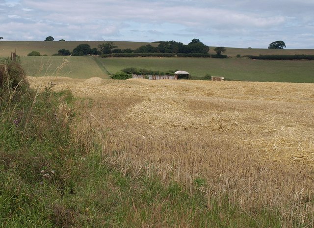
Image: © Derek Harper Taken: 26 Jul 2010
Looking along the line of footpath BW 30/53 as it leaves the Bridgwater-Spaxton road, across the upper Perrymoor Brook valley.
Images are licensed for reuse under creativecommons.org/licenses/by-sa/2.0
Image Location
Latitude
51.130484
Longitude
-3.084213