Steep Lane
Introduction
The photograph on this page of Steep Lane by Shazz as part of the Geograph project.
The Geograph project started in 2005 with the aim of publishing, organising and preserving representative images for every square kilometre of Great Britain, Ireland and the Isle of Man.

There are currently over 7.5m images from over 14,400 individuals and you can help contribute to the project by visiting https://www.geograph.org.uk
Steep Lane
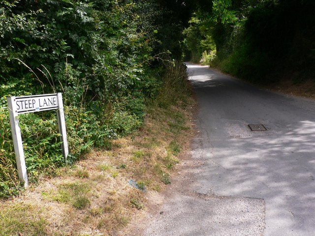
Image: © Shazz Taken: 30 Jul 2010
This is looking east from Cross Lane in Findon. The Monarch's Way uses Steep Lane but the small waymark on the street name is not visible in the photograph.
Images are licensed for reuse under creativecommons.org/licenses/by-sa/2.0
Image Location
Latitude
50.864383
Longitude
-0.405045