Houses near the bottom of Fields Park Road, Newport
Introduction
The photograph on this page of Houses near the bottom of Fields Park Road, Newport by Jaggery as part of the Geograph project.
The Geograph project started in 2005 with the aim of publishing, organising and preserving representative images for every square kilometre of Great Britain, Ireland and the Isle of Man.

There are currently over 7.5m images from over 14,400 individuals and you can help contribute to the project by visiting https://www.geograph.org.uk
Houses near the bottom of Fields Park Road, Newport
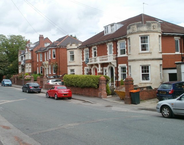
Image: © Jaggery Taken: 25 Jul 2010
Houses on the south side of the road, close to the junction with Fields Road.
Images are licensed for reuse under creativecommons.org/licenses/by-sa/2.0
Image Location
Latitude
51.58921
Longitude
-3.008925