Blocked road beyond Wern Fawr Holiday Complex
Introduction
The photograph on this page of Blocked road beyond Wern Fawr Holiday Complex by Eric Jones as part of the Geograph project.
The Geograph project started in 2005 with the aim of publishing, organising and preserving representative images for every square kilometre of Great Britain, Ireland and the Isle of Man.

There are currently over 7.5m images from over 14,400 individuals and you can help contribute to the project by visiting https://www.geograph.org.uk
Blocked road beyond Wern Fawr Holiday Complex
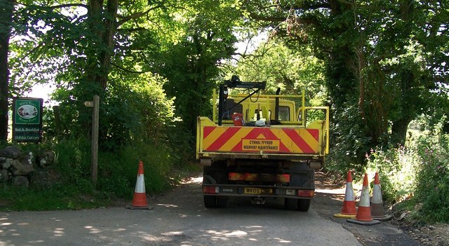
Image: © Eric Jones Taken: 25 Jun 2010
Vehicle traffic is denied use of the road until the scheme to provide a new drainage system for this often flooded road is completed. Work was completed in July, 2010.
Images are licensed for reuse under creativecommons.org/licenses/by-sa/2.0
Image Location


Leaflet Map data © OpenStreetMap
Latitude
52.871018
Longitude
-4.494965