Whitchurch, wayside cross
Introduction
The photograph on this page of Whitchurch, wayside cross by Mike Faherty as part of the Geograph project.
The Geograph project started in 2005 with the aim of publishing, organising and preserving representative images for every square kilometre of Great Britain, Ireland and the Isle of Man.

There are currently over 7.5m images from over 14,400 individuals and you can help contribute to the project by visiting https://www.geograph.org.uk
Whitchurch, wayside cross
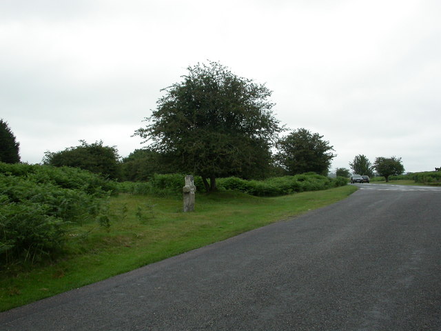
Image: © Mike Faherty Taken: 27 Jul 2010
On a monks' route from Buckfast to Tavistock Abbeys; medieval, repaired and shortened.
Images are licensed for reuse under creativecommons.org/licenses/by-sa/2.0
Image Location
Latitude
50.544942
Longitude
-4.128448