Broadclyst: towards Killerton Park
Introduction
The photograph on this page of Broadclyst: towards Killerton Park by Martin Bodman as part of the Geograph project.
The Geograph project started in 2005 with the aim of publishing, organising and preserving representative images for every square kilometre of Great Britain, Ireland and the Isle of Man.

There are currently over 7.5m images from over 14,400 individuals and you can help contribute to the project by visiting https://www.geograph.org.uk
Broadclyst: towards Killerton Park
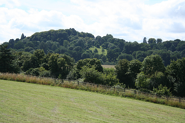
Image: © Martin Bodman Taken: 28 Jul 2010
Seen from Beare, on the old Bristol-Exeter road. The M5 Motorway runs beyond the fence, hidden below the trees. The wooded hill at Killerton is well beyond the square and is now part of the National Trust estate, recognisable to drivers on the motorway. Near the summit are the faint remains of an Iron Age hillfort amongst the trees
Images are licensed for reuse under creativecommons.org/licenses/by-sa/2.0
Image Location
Latitude
50.798665
Longitude
-3.440633