Transmitters near Cefn Coed
Introduction
The photograph on this page of Transmitters near Cefn Coed by Nigel Davies as part of the Geograph project.
The Geograph project started in 2005 with the aim of publishing, organising and preserving representative images for every square kilometre of Great Britain, Ireland and the Isle of Man.

There are currently over 7.5m images from over 14,400 individuals and you can help contribute to the project by visiting https://www.geograph.org.uk
Transmitters near Cefn Coed
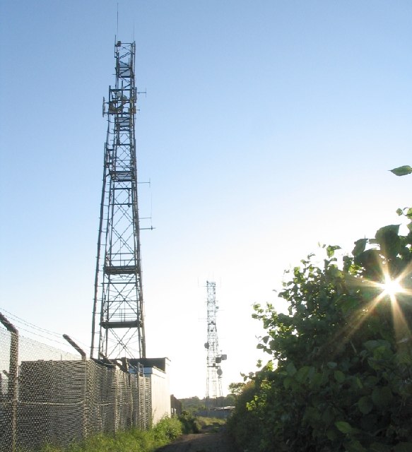
Image: © Nigel Davies Taken: 18 Jun 2005
These transmitters are very close to the water tower at the top of the hill, but just make it into the next grid square.
Images are licensed for reuse under creativecommons.org/licenses/by-sa/2.0
Image Location


Leaflet Map data © OpenStreetMap
Latitude
51.628594
Longitude
-4.003823