Butterton Limekiln
Introduction
The photograph on this page of Butterton Limekiln by Paul Glover as part of the Geograph project.
The Geograph project started in 2005 with the aim of publishing, organising and preserving representative images for every square kilometre of Great Britain, Ireland and the Isle of Man.

There are currently over 7.5m images from over 14,400 individuals and you can help contribute to the project by visiting https://www.geograph.org.uk
Butterton Limekiln
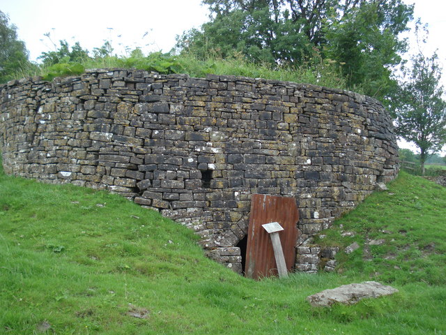
Image: © Paul Glover Taken: 25 Jul 2010
The village may have a nice church, a stream running down the main road and a pub with a giant peg for a sign but there is also a limekiln tucked away in a corner of a field.
Images are licensed for reuse under creativecommons.org/licenses/by-sa/2.0
Image Location
Latitude
53.101776
Longitude
-1.888242