Gateway near Forder
Introduction
The photograph on this page of Gateway near Forder by Derek Harper as part of the Geograph project.
The Geograph project started in 2005 with the aim of publishing, organising and preserving representative images for every square kilometre of Great Britain, Ireland and the Isle of Man.

There are currently over 7.5m images from over 14,400 individuals and you can help contribute to the project by visiting https://www.geograph.org.uk
Gateway near Forder
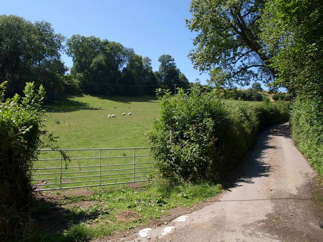
Image: © Derek Harper Taken: 25 Jul 2010
This is at the bottom of Hatherleigh Lane (right), at the junction with Forder Lane. Some of those sheep are very close to the northing gridline.
Images are licensed for reuse under creativecommons.org/licenses/by-sa/2.0
Image Location
Latitude
50.607331
Longitude
-3.697793