Ashover Hay view
Introduction
The photograph on this page of Ashover Hay view by Andrew Hill as part of the Geograph project.
The Geograph project started in 2005 with the aim of publishing, organising and preserving representative images for every square kilometre of Great Britain, Ireland and the Isle of Man.

There are currently over 7.5m images from over 14,400 individuals and you can help contribute to the project by visiting https://www.geograph.org.uk
Ashover Hay view
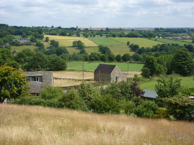
Image: © Andrew Hill Taken: 24 Jul 2010
Looking northeast from the ridge path towards the northern end. The building in the centre is the Methodist chapel as shown on the map. Beyond is the upper Amber valley with Woolley Moor on the right and Dalebank on the left.
Images are licensed for reuse under creativecommons.org/licenses/by-sa/2.0
Image Location
Latitude
53.146028
Longitude
-1.46651