Ripe for conversion
Introduction
The photograph on this page of Ripe for conversion by Peter Barr as part of the Geograph project.
The Geograph project started in 2005 with the aim of publishing, organising and preserving representative images for every square kilometre of Great Britain, Ireland and the Isle of Man.

There are currently over 7.5m images from over 14,400 individuals and you can help contribute to the project by visiting https://www.geograph.org.uk
Ripe for conversion
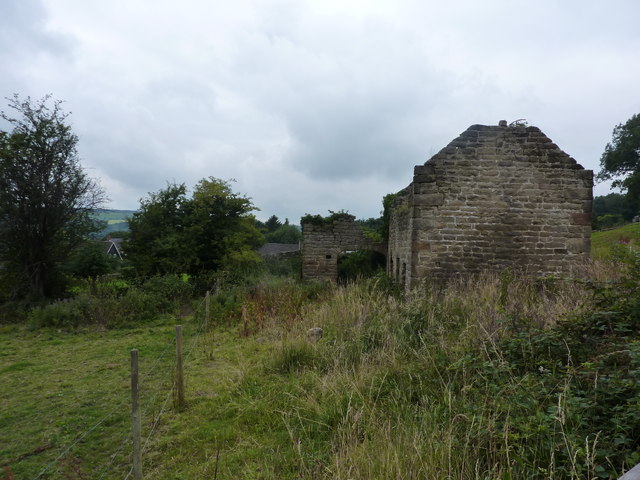
Image: © Peter Barr Taken: 28 Jul 2010
Planning application already made for conversion of former rope house on Malthouse Lane in Rattle, a part of Ashover.
Images are licensed for reuse under creativecommons.org/licenses/by-sa/2.0
Image Location
Latitude
53.168378
Longitude
-1.479397