Towerblocks at Weston Shore
Introduction
The photograph on this page of Towerblocks at Weston Shore by Rob Candlish as part of the Geograph project.
The Geograph project started in 2005 with the aim of publishing, organising and preserving representative images for every square kilometre of Great Britain, Ireland and the Isle of Man.

There are currently over 7.5m images from over 14,400 individuals and you can help contribute to the project by visiting https://www.geograph.org.uk
Towerblocks at Weston Shore
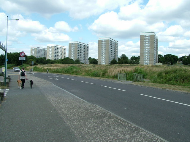
Image: © Rob Candlish Taken: 28 Jul 2010
High rise development at Weston Shore viewed from a car park beside Southampton Water.
Images are licensed for reuse under creativecommons.org/licenses/by-sa/2.0
Image Location
Latitude
50.886527
Longitude
-1.369887