Farm Machinery at Statenborough Farm
Introduction
The photograph on this page of Farm Machinery at Statenborough Farm by Oast House Archive as part of the Geograph project.
The Geograph project started in 2005 with the aim of publishing, organising and preserving representative images for every square kilometre of Great Britain, Ireland and the Isle of Man.

There are currently over 7.5m images from over 14,400 individuals and you can help contribute to the project by visiting https://www.geograph.org.uk
Farm Machinery at Statenborough Farm
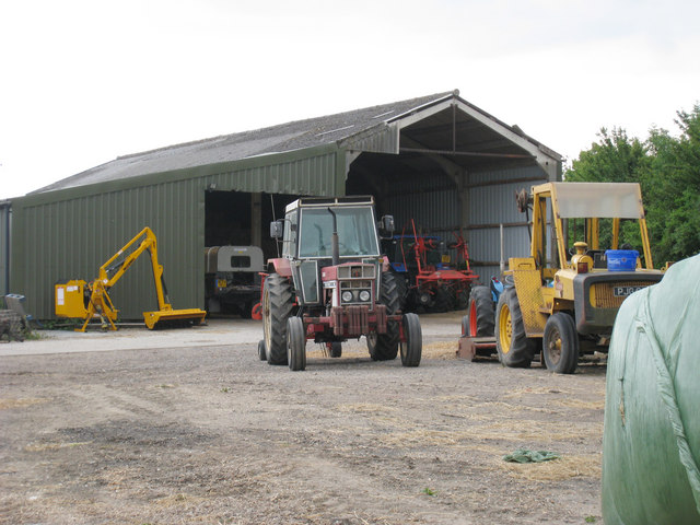
Image: © Oast House Archive Taken: 24 Jul 2010
At junction of Felderland Lane with the A256 Sandwich Road.
Images are licensed for reuse under creativecommons.org/licenses/by-sa/2.0
Image Location
Latitude
51.253365
Longitude
1.319035