Venn Ottery Churchyard
Introduction
The photograph on this page of Venn Ottery Churchyard by Tony Atkin as part of the Geograph project.
The Geograph project started in 2005 with the aim of publishing, organising and preserving representative images for every square kilometre of Great Britain, Ireland and the Isle of Man.

There are currently over 7.5m images from over 14,400 individuals and you can help contribute to the project by visiting https://www.geograph.org.uk
Venn Ottery Churchyard
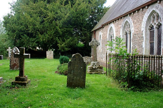
Image: © Tony Atkin Taken: 26 Jul 2010
Unusually for a village churchyard this one does not have a road adjacent to it. The church and churchyard are largely surrounded by other properties and large bushes and accessible via footpaths. This gives the churchyard the sense of being a very quiet and private space.
Images are licensed for reuse under creativecommons.org/licenses/by-sa/2.0
Image Location
Latitude
50.712925
Longitude
-3.306274