A High Terrace
Introduction
The photograph on this page of A High Terrace by Tony Atkin as part of the Geograph project.
The Geograph project started in 2005 with the aim of publishing, organising and preserving representative images for every square kilometre of Great Britain, Ireland and the Isle of Man.

There are currently over 7.5m images from over 14,400 individuals and you can help contribute to the project by visiting https://www.geograph.org.uk
A High Terrace
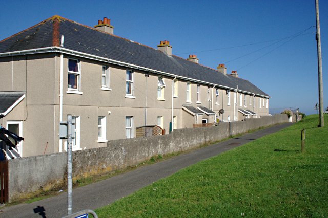
Image: © Tony Atkin Taken: 25 Jul 2010
This terrace of houses in Polruan faces onto the green overlooking the sea. Behind these houses lies most of Polruan built on the steep northerly slope leading down to the sheltered harbour.
Images are licensed for reuse under creativecommons.org/licenses/by-sa/2.0
Image Location
Latitude
50.326807
Longitude
-4.634344