River Lea Navigation in Ware
Introduction
The photograph on this page of River Lea Navigation in Ware by Rob Candlish as part of the Geograph project.
The Geograph project started in 2005 with the aim of publishing, organising and preserving representative images for every square kilometre of Great Britain, Ireland and the Isle of Man.

There are currently over 7.5m images from over 14,400 individuals and you can help contribute to the project by visiting https://www.geograph.org.uk
River Lea Navigation in Ware
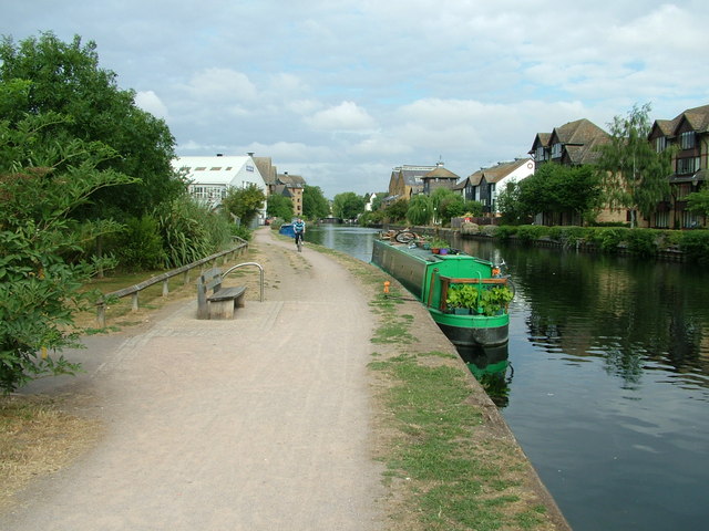
Image: © Rob Candlish Taken: 27 Jul 2010
The large white building on the left is Swains Mill. There are plans to demolish this and replace it with a new supermarket.
Images are licensed for reuse under creativecommons.org/licenses/by-sa/2.0
Image Location
Latitude
51.809047
Longitude
-0.026094