Hertford Bus Station
Introduction
The photograph on this page of Hertford Bus Station by Rob Candlish as part of the Geograph project.
The Geograph project started in 2005 with the aim of publishing, organising and preserving representative images for every square kilometre of Great Britain, Ireland and the Isle of Man.

There are currently over 7.5m images from over 14,400 individuals and you can help contribute to the project by visiting https://www.geograph.org.uk
Hertford Bus Station
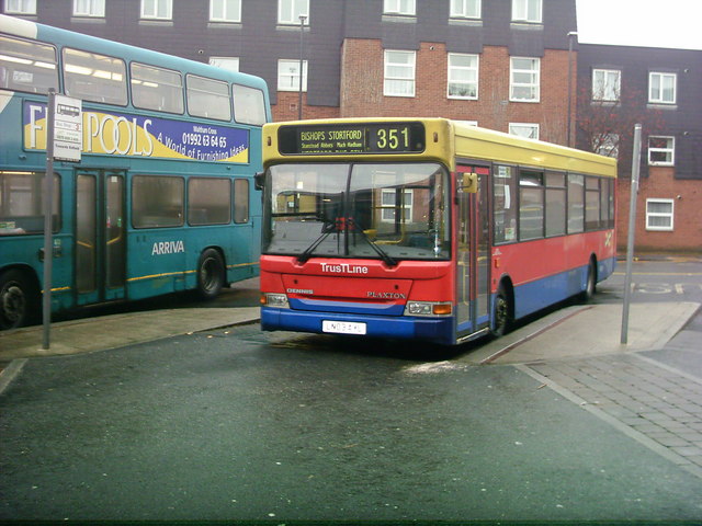
Image: © Rob Candlish Taken: 10 Jan 2005
TrustLine DPL1 (LN03AYL), a Plaxton bodied Dennis Dart SLF, on route 351 to Bishop's Stortford. Bircherley Court sheltered accommodation is in the background. The destination blind has Stanstead Abbotts incorrectly shown as "Stanstead Abbots", a common spelling mistake even seen on some road signs.
Images are licensed for reuse under creativecommons.org/licenses/by-sa/2.0
Image Location
Latitude
51.797454
Longitude
-0.075329