Tower block in Herne Bay
Introduction
The photograph on this page of Tower block in Herne Bay by Stephen Craven as part of the Geograph project.
The Geograph project started in 2005 with the aim of publishing, organising and preserving representative images for every square kilometre of Great Britain, Ireland and the Isle of Man.

There are currently over 7.5m images from over 14,400 individuals and you can help contribute to the project by visiting https://www.geograph.org.uk
Tower block in Herne Bay
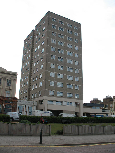
Image: © Stephen Craven Taken: 24 Jul 2010
This residential block stands out above all the surrounding development. According to a Council planning document http://www.canterbury.gov.uk/authority/assets/conservation/consareaappraisals/HERNEBAY08.pdf it was built in the 1960s on the site of the former Pier Hotel.
Images are licensed for reuse under creativecommons.org/licenses/by-sa/2.0
Image Location
Latitude
51.371526
Longitude
1.120784